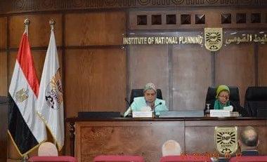
The Institute of National Planning holds a symposium entitled “Image Processing and Artificial Intelligence to Achieve Sustainable Development Goals”
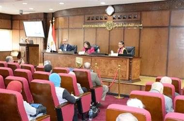
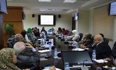
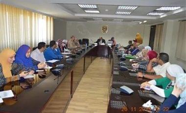
The Planning Methods Center at the National Planning Institute organized a symposium entitled “Image Processing and Artificial Intelligence to Achieve Sustainable Development Goals”, where the symposium was moderated by Dr. Basma Al-Haddad, Director of the Center, and presented by: Dr. Ann Tayseer, Professor at the Center, and Dr. Hamdi Al-Jumaili, Professor of Remote Sensing and Space Sciences and Chairman of the Council GIG Satellite Maps and Geographic Information Systems managed two specialized shows in the field of image processing using artificial intelligence applications to achieve sustainable development.
At the beginning of the symposium, Dr. Basma Al-Haddad indicated that the symposium aims to shed light on the massive growth and new applications of artificial intelligence, which have been used in many sectors including security, environment, research, education, health, culture and roads, in addition to the increasing use of big data, and its role in Achieving the goals of sustainable development.
The Director of the Planning Methods Center also referred to the interest in the process of integration between image processing programs and geospatial artificial intelligence applications to support sustainable environmental development with the possibility of its application in Egypt.
Dr. Ann Tayseer reviewed the role played by image processing programs using artificial intelligence techniques to achieve the goals of sustainable development, as they can be used at several levels, including the detection of road accidents, and the improvement of the capabilities of the machine by improving the perception of face recognition, in addition to the possibility of using it in medical diagnosis, And forecasts such as weather forecasts, and at the level of interactive communication such as social robots.
Dr. Ann Tayseer also pointed out that despite the positive aspects of image processing programs and applications using artificial intelligence technology, they carry with them many negatives and problems related to privacy protection, which requires the enactment of legislation worldwide and in Egypt in particular to limit misuse. for these applications.
For his part, Dr. Hamdi Al-Jumaili reviewed the importance of artificial intelligence and geospatial technologies in sustainable environmental development, as it aims to meet the needs of the present in improving the quality of human life without compromising the ability of future generations, and geospatial artificial intelligence, as well as the importance of the Civil Observatory in collecting, checking and sustaining data in a database. Comprehensive, extracting information to support the decision in order to achieve the goals of sustainable development, and processing satellite images, referring to the experiences of Kuwait and Saudi Arabia.
Al-Jumaili added that the integration of geospatial artificial intelligence and satellite image processing will open a new era for decision support systems in real time and support sustainable development and visualize its goals. He also stressed the need to encourage Egyptian governorates to build their own geographical gates for urban observatories to support environmental sustainable development measures.
